Contact
Website
This community website is managed by a team of volunteers. It is independent of Whitchurch Parish Council but cooperates with it to display many pages of council information. It is hosted by SiteSpider Services by courtesy of Phil Weir. The Parish Council has no responsibility for material appearing on the site or on sites linked with it. To see the Privacy Policy or the Accessibility Statement for the website click on the links at the foot of the page.
Contact
The Whitchurch Web team welcomes contributions from all members of the community. Here are the contact details:
- To send news, photographs or general comments - email the News Editor, Julie Huntington
- To send information on future events - email the Events Editor, Alexa Duckworth-Briggs
- To send information for the updating of all pages - email the Page Editor, Adrian Dixon
The team also includes Nature Editor Sally Woolhouse
With deep sadness we announce the death of Richard Wingfield, the News Editor for 15 years and responsible for the development of the website in line with the Village Plan of 2009. Richard died peacefully at home with his family around him, on 26th January 2026. For more information, please see his obituary.
Whitchurch is on the north bank of the Thames, about five miles west
of Reading. The postcode for The Greyhound, in the centre of the
village, is RG8 7EL.
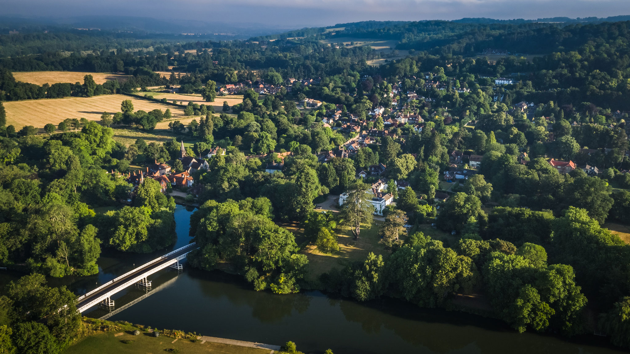
(Aerial photo reproduced by permission of Dave Olinski, taken 29th June 2018. Click to enlarge)